📞 +998 71 241-51-70 ✉️
logo

LABORATORY OF SEISMOTECTONICS AND GEODYNAMICS

Mudir rasmi
Nurmatov Ulfat Amanovich

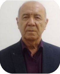
Head of the laboratory Candidate of Physical and Mathematical Sciences
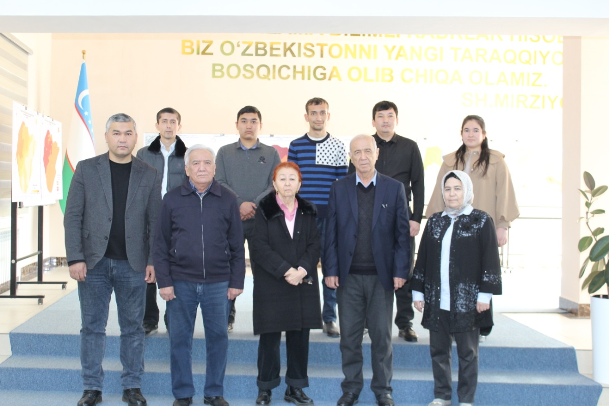
THE MAIN SCIENTIFIC DIRECTIONS OF THE LABORATORY
Study of geological and tectonic factors and conditions of occurrence of strong earthquakes; Long-term forecast of seismotectonic activation; Improvement of seismotectonic bases of seismic hazard assessment; Study of regularities of stress-strain state of different rank structures of the Earth's crust; Analysis of directions and velocities of modern horizontal and vertical movements of the Earth's crust on the basis of GNSS data; Study of tectonic fault zones and assessment of their seismotectonic potential.
LABORATORY TASKS
Analysis of seismotectonic features of modern fault-block structures and development of their seismogeodynamic models; Analysis of the block, fault and layered structure of the Earth's crust and assessment of geodynamic blocks and their stress state in the formation of earthquake sources; Identification of large crustal faults that delimit geodynamic blocks of different ranks and are the source of earthquakes, assessment of seismic potential, study of their morphology and mapping; Creation of seismotectonic models of seismically active regions of the republic, containing complex geological-geophysical, seismological and geodynamic data; Creation of seismotectonic bases for seismic zoning (general, detailed and micro) of the territory of the republic at different scales; Conducting space geodesic (GNSS) and geophysical studies to assess the seismotectonic and geodynamic situation in seismically active areas, active fault zones, within the limits of technogenic objects.
THE MAIN SCIENTIFIC RESULTS OBTAINED IN RECENT YEARS
The role of transverse faults in the manifestation of seismicity of the territory of Western Uzbekistan has been determined. Localization of earthquakes in nodal intersections of seismogenic zones and hidden faults of northeastern orientation has been revealed; A map of active faults of the earth crust of Eastern Uzbekistan has been compiled. This map is accepted as a linear source of earthquakes and used in the delineation of seismogenic zones; Mathematical model of the junction zone of the South-Eastern part of the Turanian Platform and the Western Tien-Shan orogen was developed; Based on the analysis of GNSS data, a mathematical model of the stress state of active faults at the side parts of the Fergana depression was created; Map of seismogenic zones of the territory of Uzbekistan on a scale of 1:1000000 was made.
Laboratory Staff
# Full Name Position
1 Nurmatov Ulfat Amanovich Laboratory Director – Candidate of Physical and Mathematical Sciences
2 Sodiqov Yusup Muxtarovich Candidate of Geological and Mineralogical Sciences, Senior Researcher
3 Usmanova Mohira Turabovna Candidate of Physical and Mathematical Sciences, Senior Researcher
4 Shukurov Zuxriddin Fazliddinovich Doctor of Philosophy (PhD) in Geology and Mineralogy, Senior Researcher
5 Yusupdjanova O’lmas Akbarovna Senior Researcher
6 Qultaev Saydulla Kamol o’g’li Junior Researcher
7 Rashidov Azamat Abduvali o’g’li Lead Engineer
8 Ismatov Shoxruh Erkin o’g’li Lead Engineer
9 Husanboyev Salimjon Saminjon o’g’li Lead Engineer
10 G’aniyeva Sevara O’tkir qizi Laboratory Assistant
Activity Photos
Faoliyat rasmi

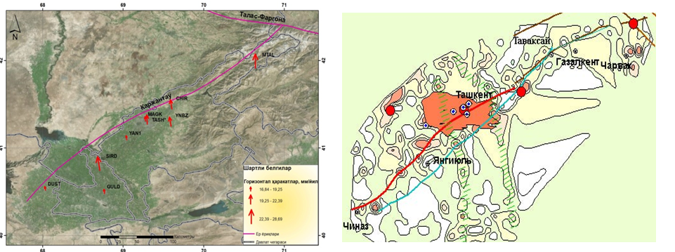
Results of GNSS measurements of the Karjantau fault zone

Faoliyat rasmi

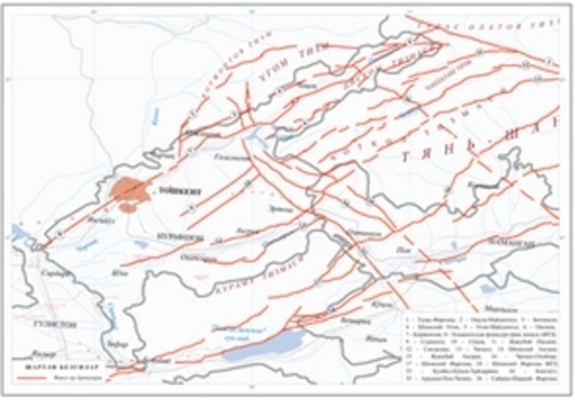
Map of active faults in the around Tashkent region

Faoliyat rasmi

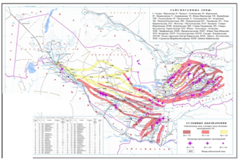
Map of seismogenic zones of Uzbekistan

Faoliyat rasmi